
Calculating a Metro Route in Paris
Plan your Metro route:
🚇 A Metro route in Paris in just a few seconds
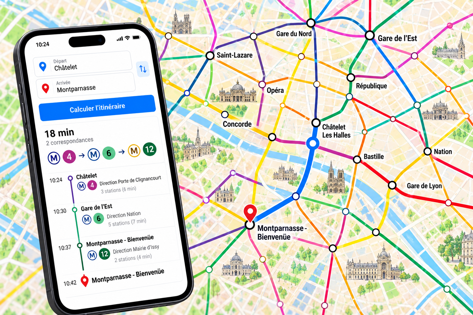
Are you confused by the Metro map, or unsure which line to take to get to your hotel, a museum, or a restaurant? Our Paris Metro route planner will guide you in just a few seconds. Enter your starting address and destination: a location like “Gare du Nord” or “Eiffel Tower” is also sufficient. The tool suggests up to three possible routes, door-to-door.
🗺️ A map where the lines of your route are highlighted
For each route, you’ll see the total travel time, departure and arrival times, the lines to take along with their directions, transfers, and walking time. On the map, the entire network is shown in the official colors of the 16 lines, and the lines on your route are highlighted in bold, along with each station. This lets you see at a glance where to board, where to transfer, and where to get off.
✨ For visitors and Parisians alike
Whether you’re visiting Paris for the first time or you live there, this is an easy way to plan your trips without stress. Remember to check “Metro only” if you don’t want to take buses or the RER, or uncheck it to compare with other modes of transportation.
💡 Good to know before you go
The metro runs from around 5:30 a.m. to 1:00 a.m., and until 2:15 a.m. on Friday and Saturday nights. A t+ ticket or a Navigo pass allows you to ride all lines, including transfers. To plan the rest of your stay, check out our tips for getting around Paris.